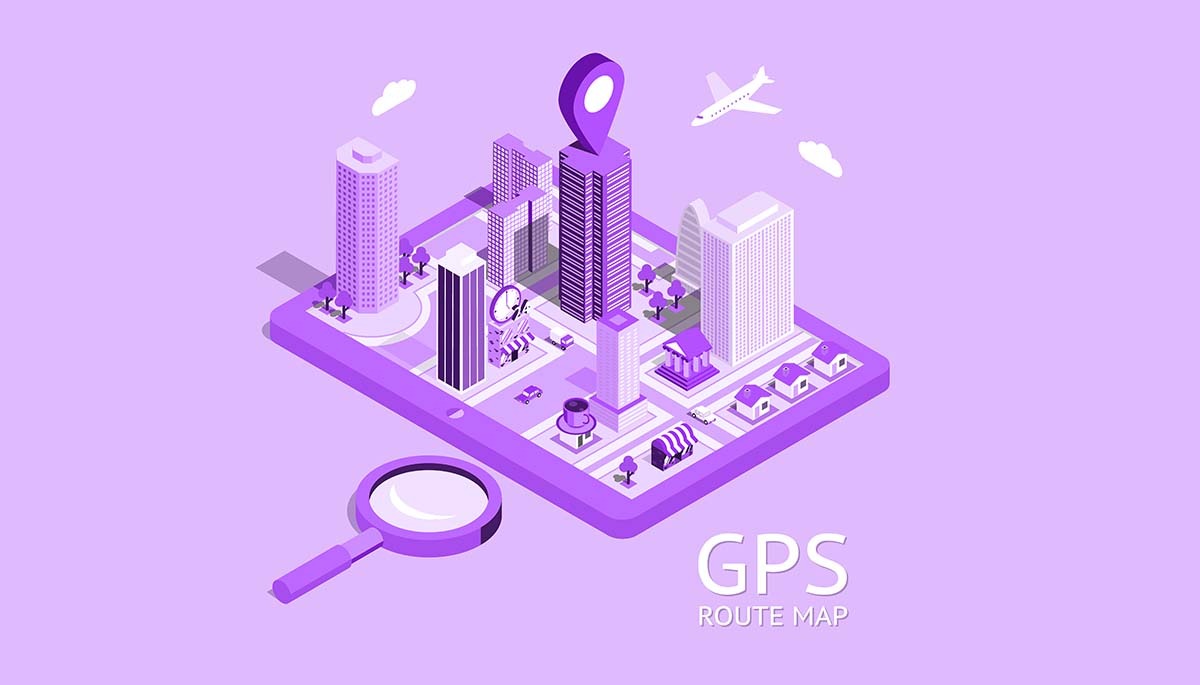


GIS - Geographic Information System
A geographic information system (GIS) is a computer system that generates, maintains, analyzes, and maps various types of data. GIS connects data to a map by combining location data with other forms of descriptive information. This lays the groundwork for mapping and analysis employed in research and practically every sector.
GIS allows you to compare and contrast many different sorts of information. Data on people, such as population, income, or education level, can be included. It may contain information on the terrain, such as the location of streams, various types of flora, and various types of soil. It may include information about the locations of companies, farms, schools, storm drains, highways, and electricity lines.

People can use GIS technology to compare the positions of various items to determine how they connect. For example, utilizing GIS, a single map might include both polluting locations, such as factories, and polluting sensitive areas, such as wetlands and rivers.
A map like this would assist people in determining where water sources are most vulnerable.
- Local Government
- Real Estate and Marketing
- Public Safety and Defense
- Natural Resource Exploration
- Transportation
- Health Management
- Public Health and Epidemiology