


Terrestrial Laser Scanning
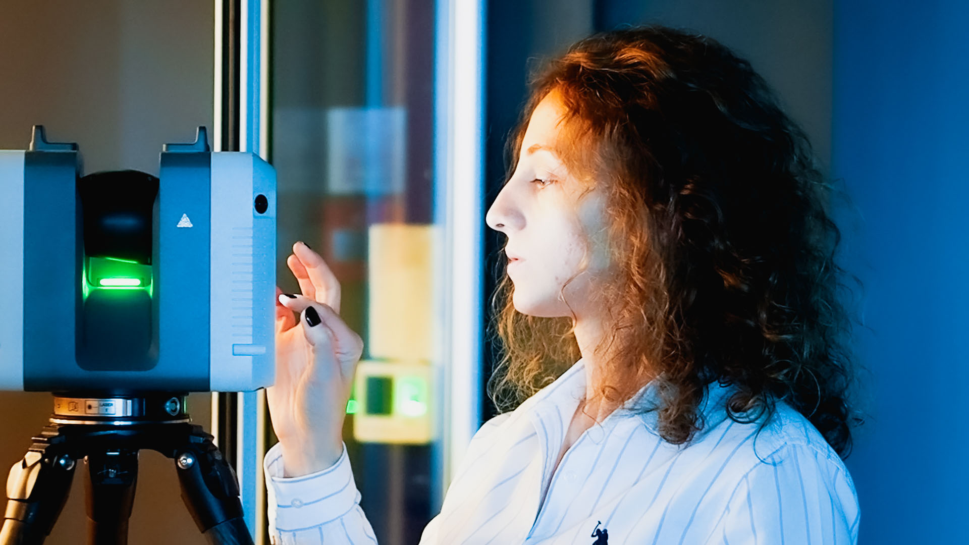
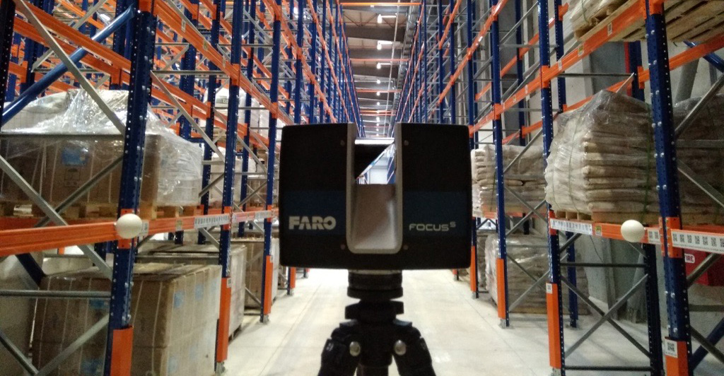
Our expertise in TLS allows us to capture highly accurate and detailed 3D data of terrestrial surfaces, enabling a wide range of applications across various industries. With our TLS services, we offer precise and efficient scanning solutions for industries such as architecture, construction, engineering, and industrial plant operations. Our state-of-the-art equipment and skilled team ensure the collection of comprehensive data sets that meet the highest industry standards.
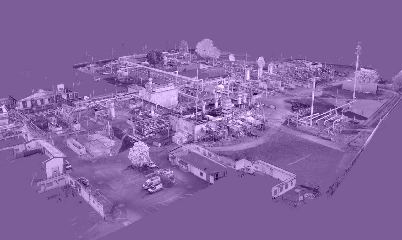
The applications of our TLS services are extensive and diverse. One of the key areas where TLS excels is in the creation and maintenance of digital twins. By capturing detailed 3D representations of physical assets and environments, TLS plays a crucial role in developing accurate and dynamic digital twins. These virtual replicas offer real-time insights into asset performance, maintenance planning, and operational optimization. Whether you need to monitor structural integrity, simulate scenarios, or analyze spatial relationships, our TLS services provide the foundation for successful digital twin implementations.
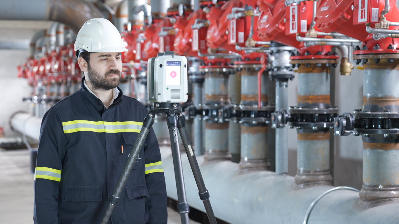
At GIZIL, we take pride in our large and high-tech equipment portfolio. Our cutting-edge TLS scanners utilize advanced laser technology to capture data with exceptional precision and speed. This allows us to efficiently scan large areas and complex structures, providing you with highly detailed and accurate 3D models.

Our experienced team of professionals is well-versed in the latest TLS techniques and software, ensuring seamless data acquisition, processing, and visualization. We understand that each project is unique, and we work closely with our clients to tailor our services to their specific requirements, delivering reliable and actionable results.
When you choose GIZIL for your TLS needs, you can trust that you are partnering with a company that is dedicated to delivering top-notch solutions for your digital twin and 3D modeling needs. Explore our website to learn more about our Terrestrial Laser Scanning services and discover how we can help transform your assets into intelligent, data-driven virtual replicas.