


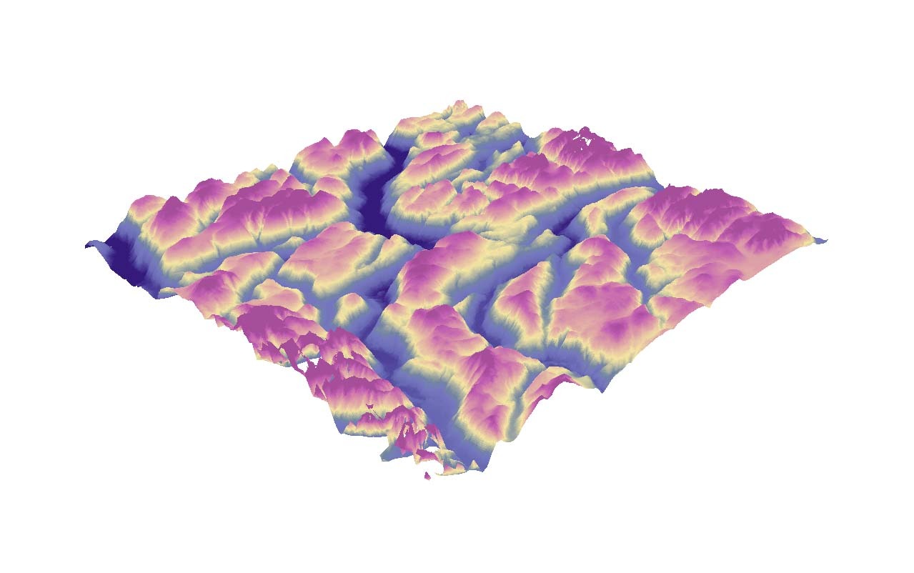
DEM | DTM | DSM
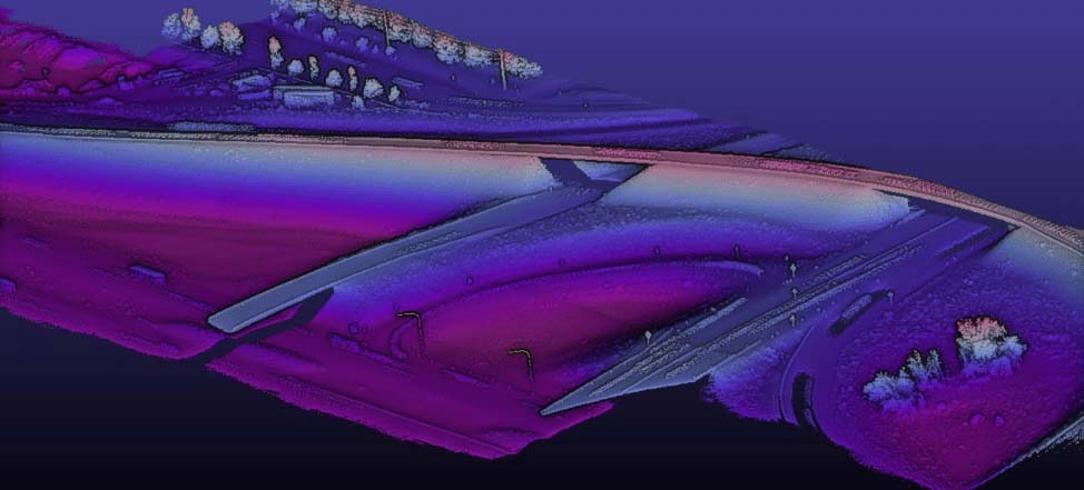
Aerial photogrammetry or airborne LiDAR may be used to generate a highly accurate and dense point cloud of the land surface, which can then be used to construct a digital elevation model (DEM), digital surface model (DSM), or digital terrain model (DTM). An unmanned aerial vehicle (UAV) can be equipped with an optical image sensor or an active LiDAR sensor to acquire overlapping pictures or immediately pulsed laser measurements.
DEM depicts the naked Earth's surface, erasing all-natural and man-made characteristics. Both photogrammetry and LiDAR methods may be used to create it. Because of its penetration and many pulses characteristic, LiDAR is the greatest solution for capturing spatial information from the ground when the land surface is heavily vegetated.

Some of the Application Fields
- Hydrologic Modelling
- Terrain Stability
- Soil Mapping
DSM captures both natural and built/artificial aspects of the area, allowing for creating a precise 3D textured model of the environment. Aerial photogrammetry or airborne LiDAR can be used to make it.

Some of the Application Fields
- Urban Planning
- Power Line Corridor Inspection
- Telecommunication
- Aviation
DTM typically augments a DEM, by including vector features of the natural terrain, such as rivers and ridges. A DTM may be interpolated to generate a DEM, but not vice versa.


Some of the Application Fields
- Geographic Information System
- Cartographic Representation