


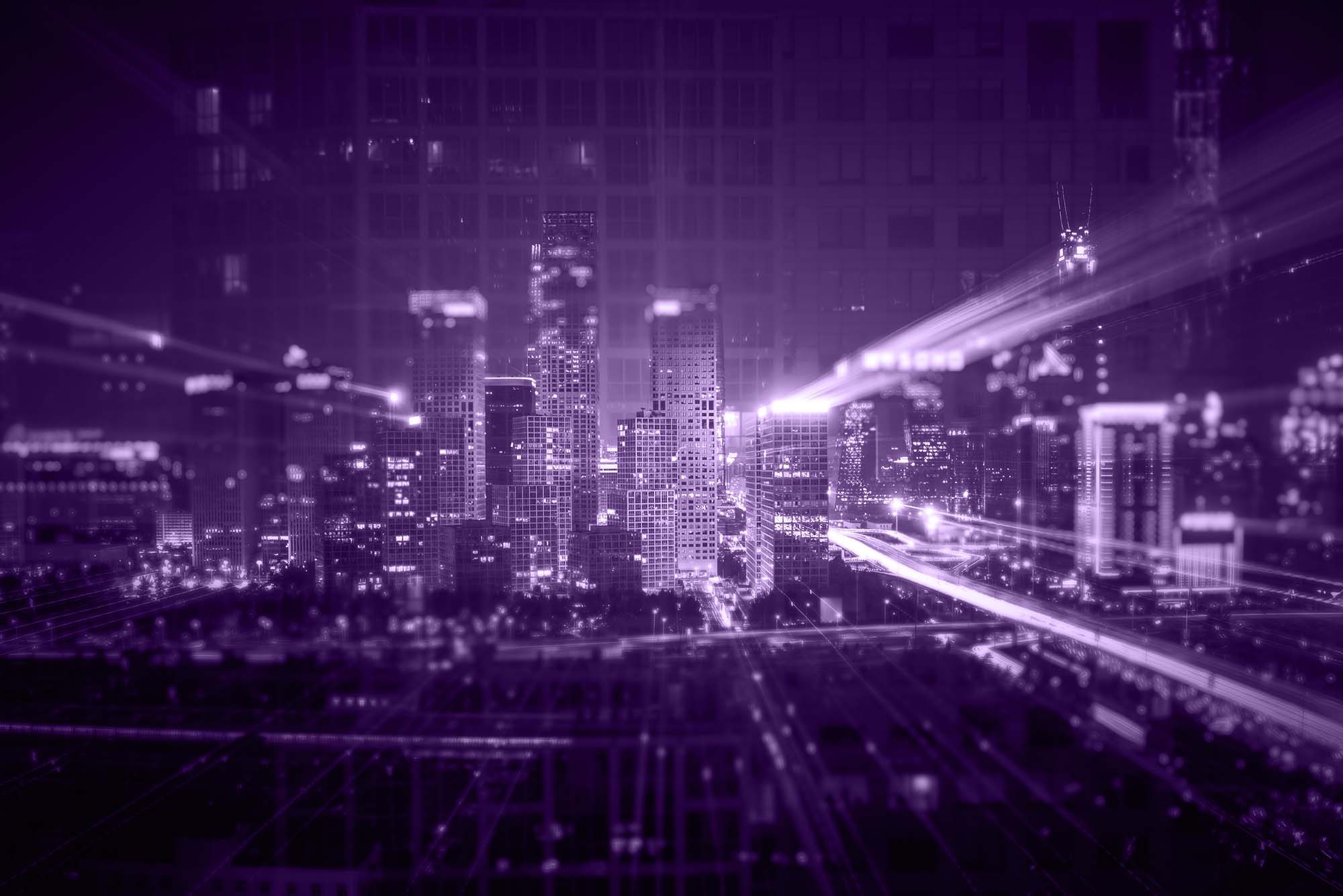
3D City Infrastructure and Smart Cities
Remote sensing, reality capture, and surveying applications generate massive datasets containing points, vectors, orthophotos, 3D models, etc. This data may be combined and connected with metadata to create a city-scale application that generates 3D city infrastructure and smart cities. The growth of autonomous cars and the internet of things will soon enhance the need for 3D smart cities.

- 3D Cadaster and Modern Urban Planning
- Automation
- Photorealistic Visualization
- IoT-based Applications
- Regional Planning
- Transportation Planning