


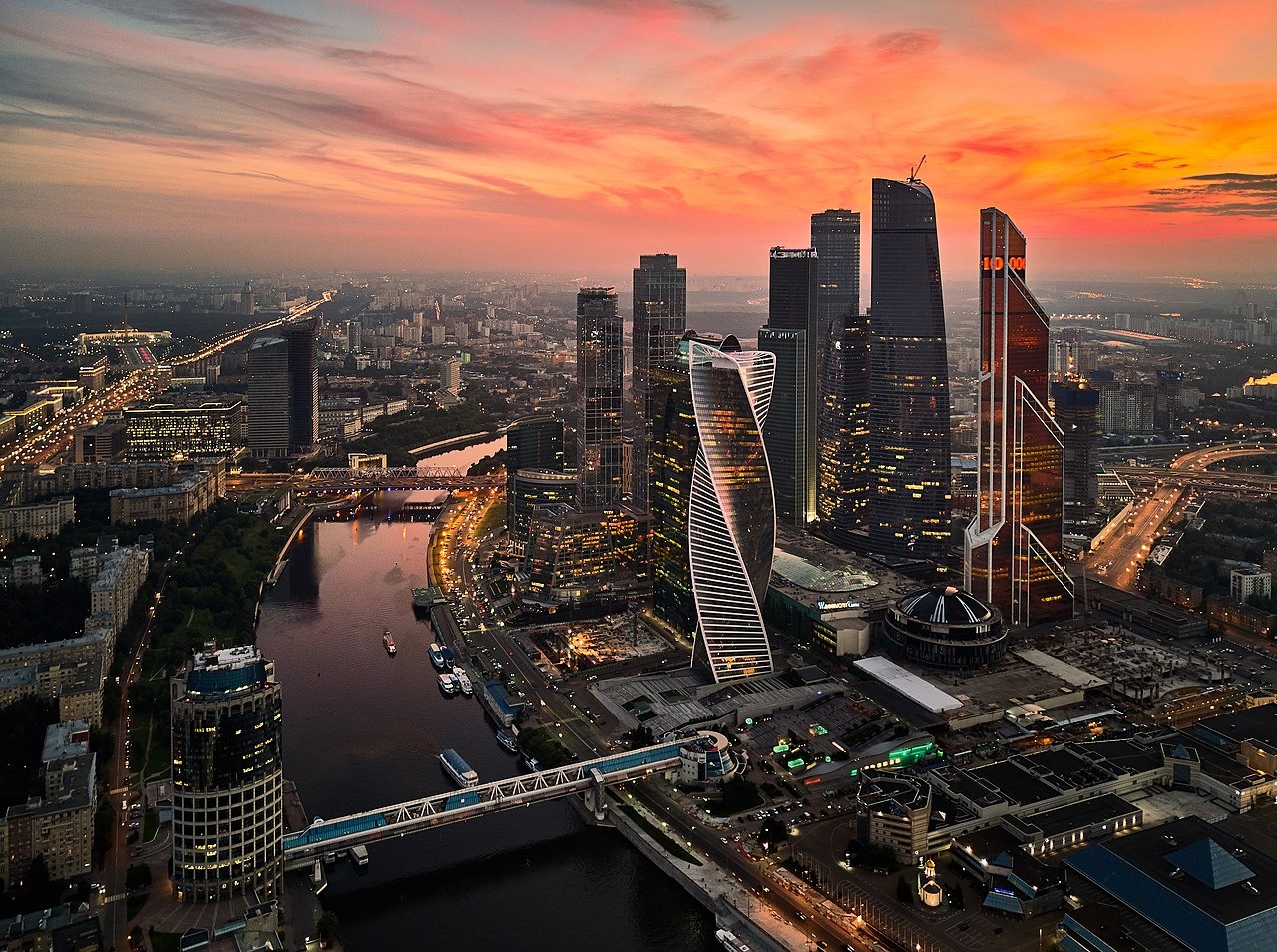
Transforming Cities, Empowering Futures: Your Catalyst for Smart City Solutions
Smart cities use data and digital technologies to make better decisions and improve their residents' quality of life.
The production of intelligent 3D city models of metropolitan areas that include terrain surfaces, sites, buildings, vegetation, infrastructure, landscape features, and connected items is what 3D Infrastructure Modeling entails.
More detailed, real-time data allows agencies to monitor events as they occur, understand how demand patterns are evolving, and respond with faster, lower-cost solutions. 2D and 3D spatial data, particularly 3D city models, play an essential role in this context. Light Detection and Ranging (LiDAR), a technique that has enabled the generation of large-scale 3D city models at a reasonable cost, is one approach for gathering data that may be utilized for constructing such 3D city models. The data is processed to create fully developed photorealistic virtual 3D city models.

The production of intelligent 3D city models of metropolitan areas that include terrain surfaces, sites, buildings, vegetation, infrastructure, landscape features, and connected items is what 3D Infrastructure Modeling entails. This data is acquired for building 3D base maps utilizing industry-standard acquisition methods and techniques such as 3D Mobile LiDAR and UAV (unmanned aerial vehicle) / drone. The data collected is made available in pictures or 3D point clouds. Using 3D city modeling software, the data is processed into usable 3D models with details on features, measurements, location, and based on the inputs.
GIZIL has considerable expertise in data capturing using 3D Mobile LiDAR & UAV (unmanned aerial vehicle) / drone for creating 3D base maps and can handle processing captured data into meaningful 3D models with details.
Explore our services for Smart Cities