


Topographic Mapping
It is feasible to make exact and informative topographic maps using advanced remote sensing and surveying techniques for mining, building, engineering, and other earth-based enterprises. Gizil has its surveying staff and equipment to supply you with the best engineering solutions.
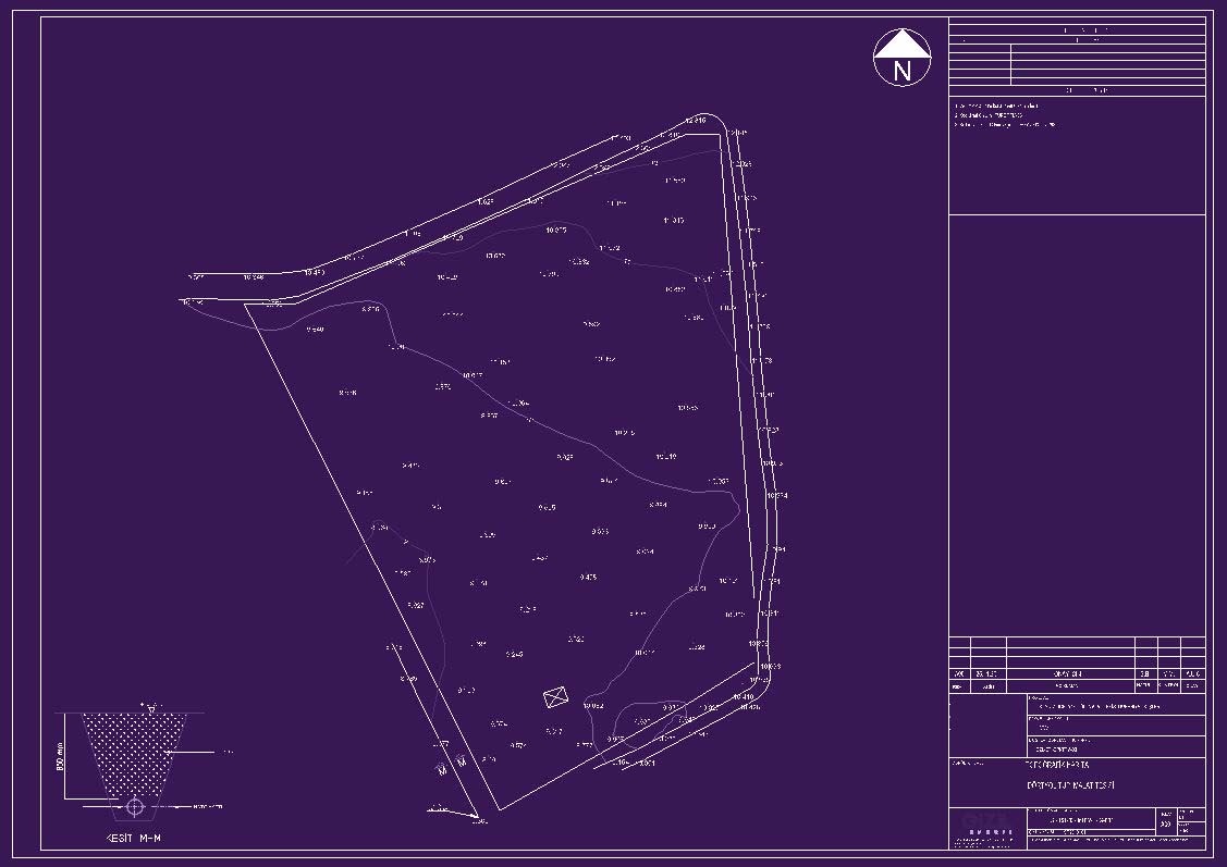
A topographic map depicts the topography or form of the ground surface. Topographic maps show the positions and shapes of hills, valleys, streams, other natural features, and man-made landmarks. They employ contour lines to depict the form and elevation of surface features.
Some of the Application Fields
- Mining
- Urban Planning
- Industrial Projects
- Municipality
- Construction