


Sed alias sunt magni totam quia minima est id et. Cupiditate natus cumque molestiae et minus est qui. Aut et alias velit temporibus enim deserunt et odio. Sed alias sunt magni totam quia minima est id et. Cupiditate natus cumque molestiae et minus est qui. Aut et alias velit temporibus enim deserunt et odio. Sed alias sunt magni totam quia minima est id et. Cupiditate natus cumque molestiae et minus est qui. Aut et alias velit temporibus enim deserunt et odio.
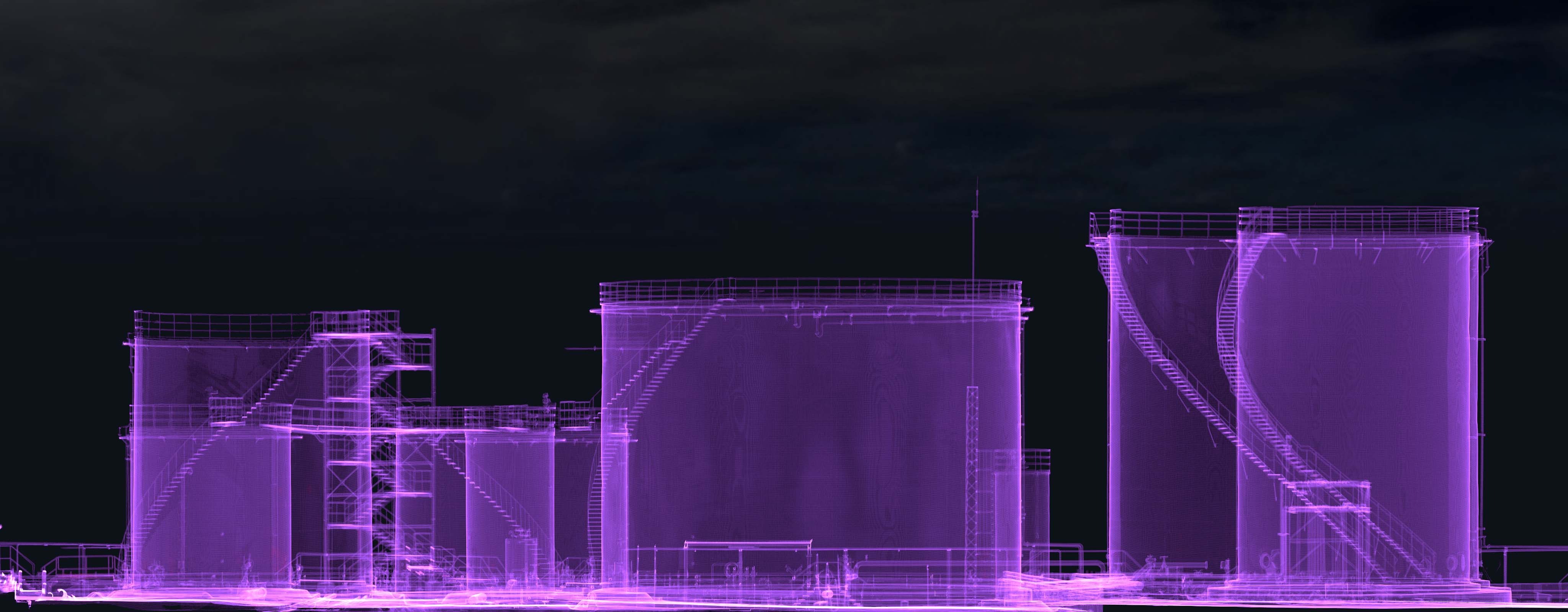
Terrestrial Laser Scanning
Our expertise in TLS allows us to capture highly accurate and detailed 3D data of terrestrial surfaces, enabling a wide range of applications across various industries. With our TLS services, we offer precise and efficient scanning solutions for industries such as architecture, construction, engineering, and industrial plant operations. Our state-of-the-art equipment and skilled team ensure the collection of comprehensive data sets that meet the highest industry standards.
Learn More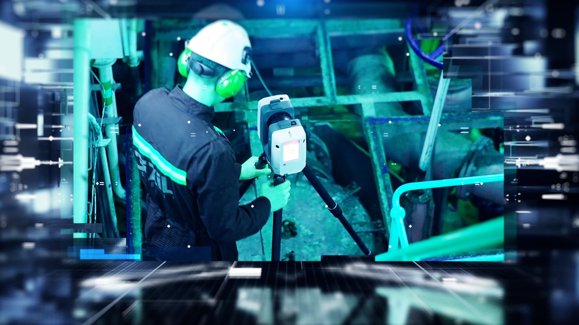
Aerial Photogrammetry (RGB, Thermal, Multispectral)
Aerial Photogrammetry services, a powerful solution for capturing high-resolution aerial imagery and transforming it into precise 3D models. With our expertise in aerial data acquisition and advanced photogrammetric techniques, we offer an invaluable resource for asset-intensive sectors looking to enhance their digital twin projects.
Learn More
Underground Mapping
Our expertise in GPR technology allows us to reveal the hidden depths beneath the Earth's surface, providing invaluable insights for a wide range of industries. With our advanced GPR services, we offer accurate and non-destructive imaging of subsurface structures, utilities, and geological features. By utilizing electromagnetic waves, our GPR equipment can penetrate the ground, detecting variations in material composition and creating detailed 2D and 3D maps of underground environments.
Learn More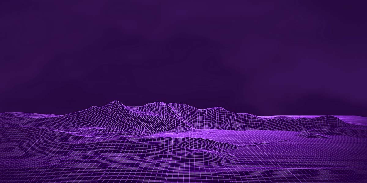
Indoor Mapping
Indoor mapping is an essential tool in the era of digitalization, enabling organizations to create accurate and comprehensive digital twins of their indoor environments. These virtual replicas serve as dynamic, data-rich representations that capture not only the visible elements but also the intricate details hidden within the structures.
Learn More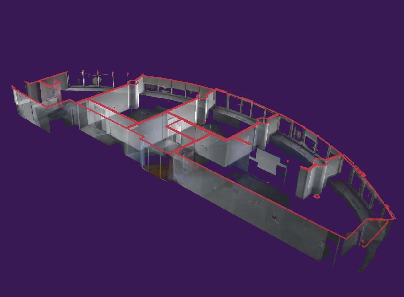
Topographic Mapping
It is feasible to make exact and informative topographic maps using advanced remote sensing and surveying techniques for mining, building, engineering, and other earth-based enterprises. Gizil has its surveying staff and equipment to supply you with the best engineering solutions.
A topographic map depicts the topography or form of the ground surface. Topographic maps show the positions and shapes of hills, valleys, streams, other natural features, and man-made landmarks. They employ contour lines to depict the form and elevation of surface features.
Learn More
DEM | DTM | DSM
Aerial photogrammetry or airborne LiDAR may be used to generate a highly accurate and dense point cloud of the land surface, which can then be used to construct a digital elevation model (DEM), digital surface model (DSM), or digital terrain model (DTM). An unmanned aerial vehicle (UAV) can be equipped with an optical image sensor or an active LiDAR sensor to acquire overlapping pictures or immediately pulsed laser measurements.
Learn More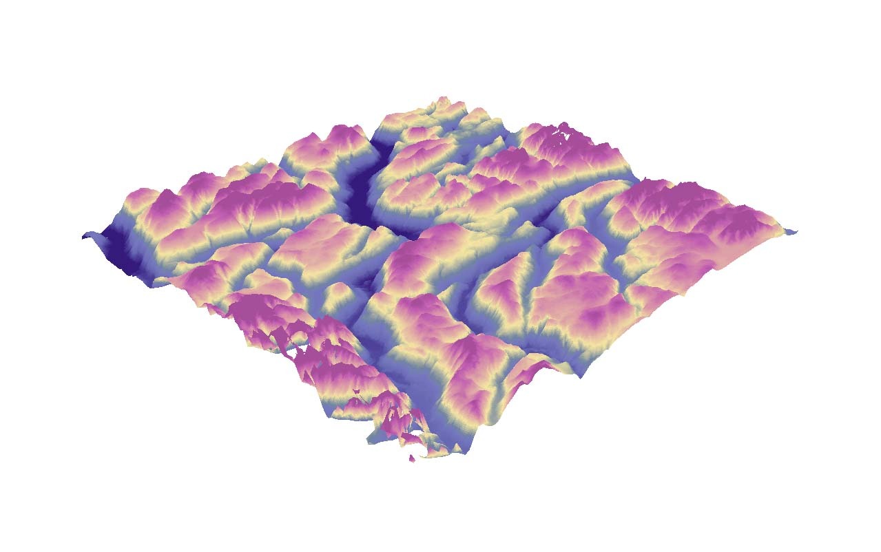
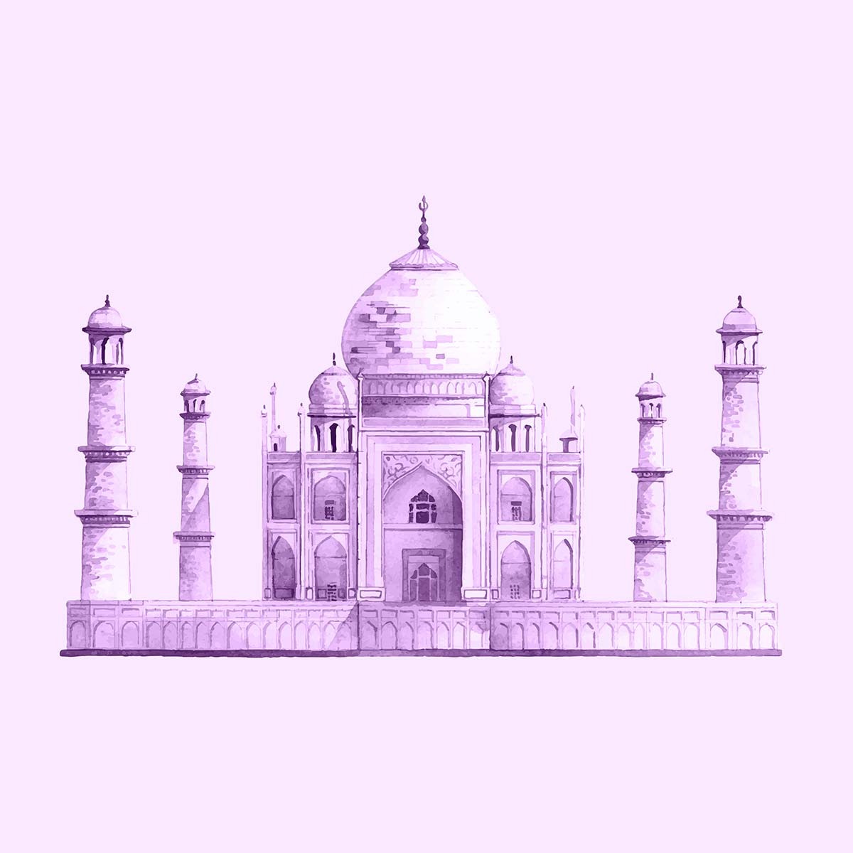
Documentation of Cultural Heritage
Our specialized services cater to the unique needs of museums, historical sites, conservation organizations, and cultural institutions, allowing them to safeguard and showcase their precious heritage for future generations. We understand the value and significance of cultural heritage. Our services for the documentation of cultural heritage combine cutting-edge technologies with expert knowledge to capture, record, and preserve historical artifacts, architectural wonders, and cultural landscapes.
Learn More